Five Historic Churches We Worked Around in 2025
In 2025, we worked with a range of historic churches across England, producing aerial documentation to support conservation, interpretation and long-term care. From early medieval chapels to later parish churches, each site offered a different perspective on England’s built heritage.
Preserving the Past from Above: A Drone Roof Survey of The Blue Idol Meeting House
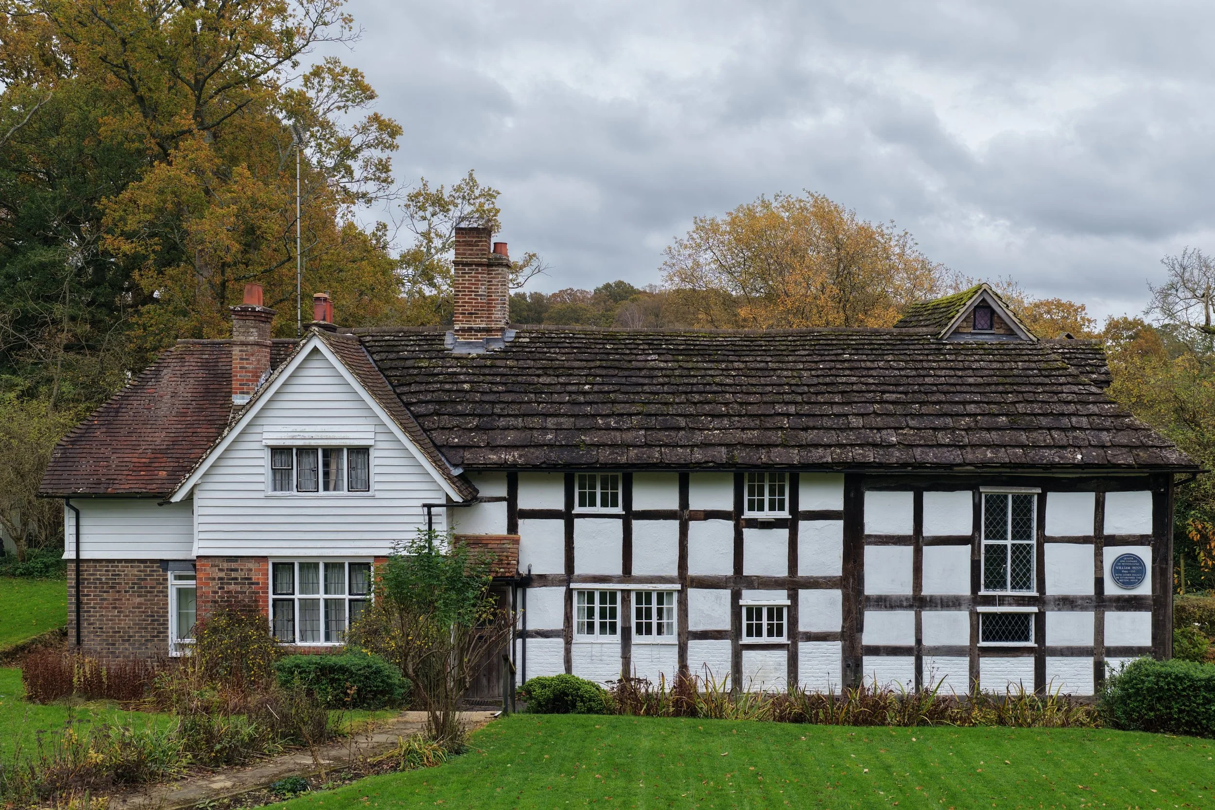
The Blue Idol Quaker Meeting House in West Sussex is one of the region’s most significant early buildings, with origins stretching back to the 15th century and historic links to William Penn. Nestled in the rural landscape near Coolham, its distinctive Horsham stone roof is both beautiful and fragile — making careful conservation essential. Our recent drone survey identified cracked stones, slipped tiles, vegetation growth and blocked gutters, providing the trustees with a 4K flyover and a traffic-light condition report to prioritise repairs while preserving this remarkable heritage site.

Drone Roof Inspection at Holy Innocents Church, South Norwood
Our drone inspection of Holy Innocents Church, South Norwood revealed a range of urgent maintenance issues, including a decayed timber bell frame, cracked lead work, damaged flues, and moss-covered roof tiles. High-resolution imagery and video were captured to support Paul Jackson Architects in advising the Archdeacon of Southwark on the best course of action for conserving this Grade II listed church.

Digitally Preserving Christian Heritage with Drone Surveys and 3D Modelling
Drones and 3D modelling are transforming heritage preservation. At CAV Aerial, we use high-resolution aerial surveys, thermal imaging, and photogrammetry to digitally document historic churches and listed buildings. Inspired by projects like the BBC-featured digital preservation of Armenia’s Yererouk Basilica, our work helps protect fragile heritage sites, support conservation planning, and create lasting digital archives.

How to Apply for Heritage Funding for Drone Documentation
Looking to secure funding for drone surveys on a heritage site? This guide explains how to apply for grants, with tips, links, and real case studies.

Why 3D Mapping Is a Game Changer for Historic Sites
Discover how drone-based 3D mapping is helping heritage sites document, monitor, and preserve historic buildings with centimetre-level precision.

How Drones Are Transforming Heritage Documentation in the UK
Explore how drone surveys are revolutionising heritage documentation — making it faster, safer, and more detailed for churches, trusts, and conservationists.